River Access Points
During our 70 day expedition, 63 unique people participated in the river journey and joined the trip from one of the river access points described on this page. This map allowed folks to know where on the river a road or boat ramp is located in order to access the trip, or the river on your own time.
Use this interactive map to find the location, name, state of boat ramps and access points along the Green and Colorado Rivers.
DETAILS:
Farsen Boat Ramp - Green River below Fontenelle Dam - Unpermitted
Green River Wyoming - Expedition Island - SCREE Launch - Unpermitted
Firehole Campground - Above Flaming Gorge - Unpermitted
Flaming Gorge Dam - A multitude of ramps are easily accessible on Flaming Gorge Reservoir
Spillway Boat Launch - Below Flaming Gorge Dam - Unpermitted
Browns Park Swinging Bridge Boat Ramp - Above Lodore - Unpermitted
Lodore Ranger Station - Entrance to Gates of Lodore - Permitted
Echo Park Campground - Middle of permitted section - no boats may launch here
Rainbow Park - Green River - Permitted
Split Mountain - Entering Uinta Basin - Unpermitted
Sand Wash - Desolation Gray Canyon - Permitted
Swaseys Boat Ramp - End of Desolation - Unpermitted
Green River State Park - Green River, Utah - Unpermitted
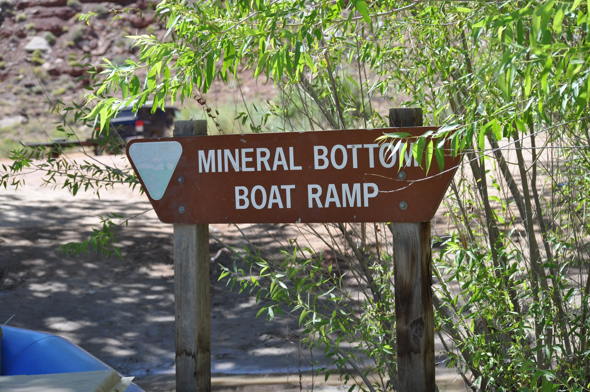
Mineral Bottom - Entering Cataract Canyon - Permitted
Potash - Cataract Canyon via the Colorado - Note: The core SCREE will not be on the Colorado through this section)
Hite - Confluence of Dirty Devil and Colorado and beginning of Lake Powell - Unpermitted
Lee's Ferry - Entering Grand Canyon - Permitted
Phantom Ranch - a hike into the Grand Canyon - Permitted
Diamond Creek - Need a permit to float from Diamond Creek to Pearce Ferry
Pearce Ferry - Takeout and Lake Mead